-
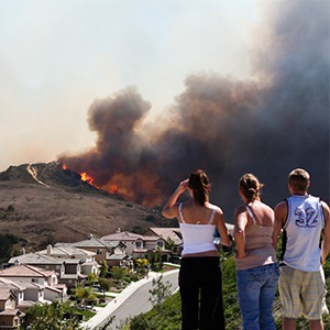
Kimiko Barrett, Ph.D., demonstrates how community resilience to wildfire needs to include planning and adaptation strategies for homes and neighborhoods. Read more
-
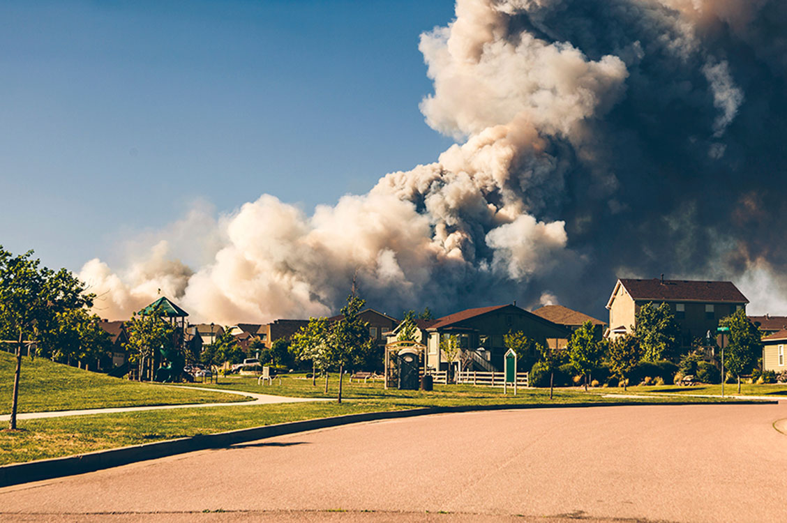
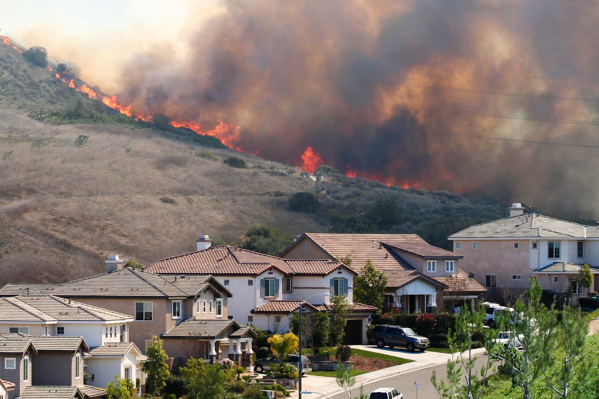
From 2000-2019, nearly 2,000 U.S. communities were threatened by wildfires or potential ember spread, showing the need for adaptive planning strategies. Read more
-
Testimony on wildfires and vulnerable populations to a forum before the House Subcommittee on National Parks, Forests, and Public Lands. Read more
-
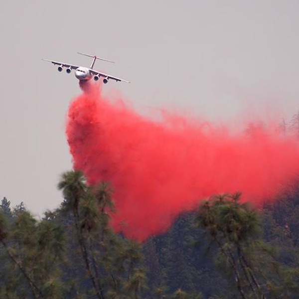
Federal wildfire policy that emphasizes suppression—a legacy of early-1900s forest management—has resulted in a paradox: accumulated fuels and larger, more severe wildfires. Read more
-
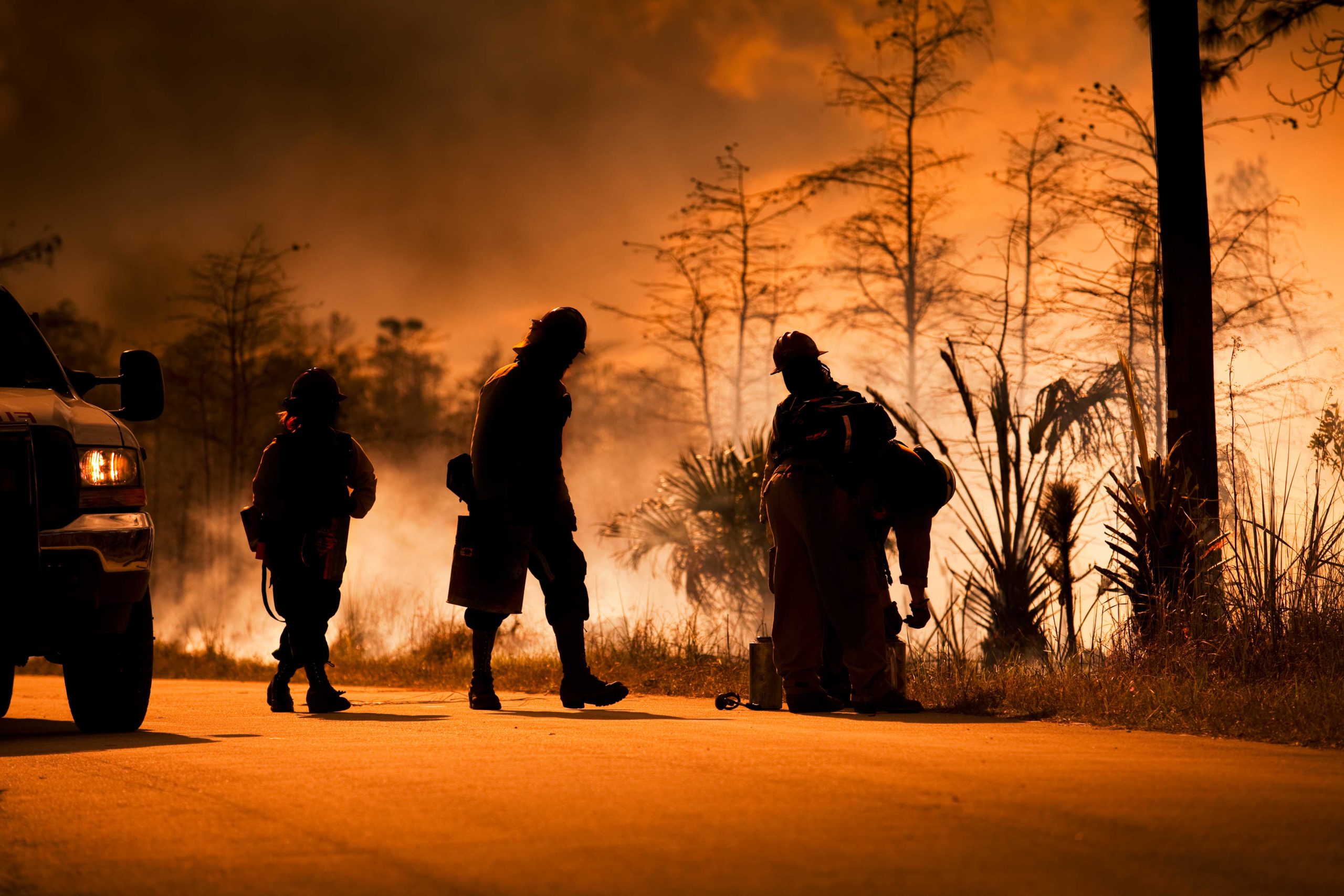
Managing wildfires during a pandemic will test the capacity of our first responders, but individual homeowners can take steps now to reduce wildfire risks. Read more
-
The new Wildfire Risk to Communities website—developed by the USDA Forest Service in partnership with Headwaters Economics and Pyrologix—offers maps and data about community wildfire risk nationwide. Read more
-
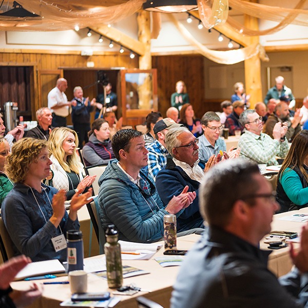
Video and highlights from an event that brought together diverse community leaders to explore practices for building fire-adapted communities. Read more
-

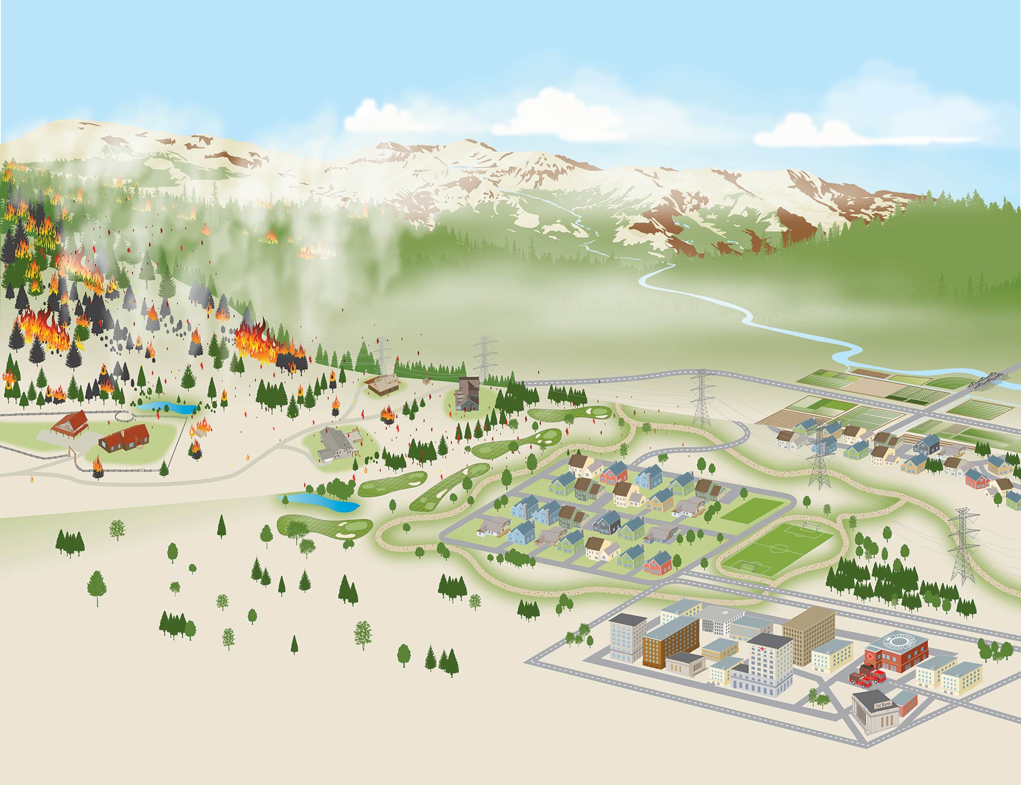
Wildfire hazard assessment maps can help communities build safer neighborhoods, prioritize mitigation resources, and adapt to wildfire. Read more
-
Community Planning Assistance for Wildfire (CPAW) is helping communities reduce wildfire risks and costs. Four new communities join 26 others this coming year. Read more
-
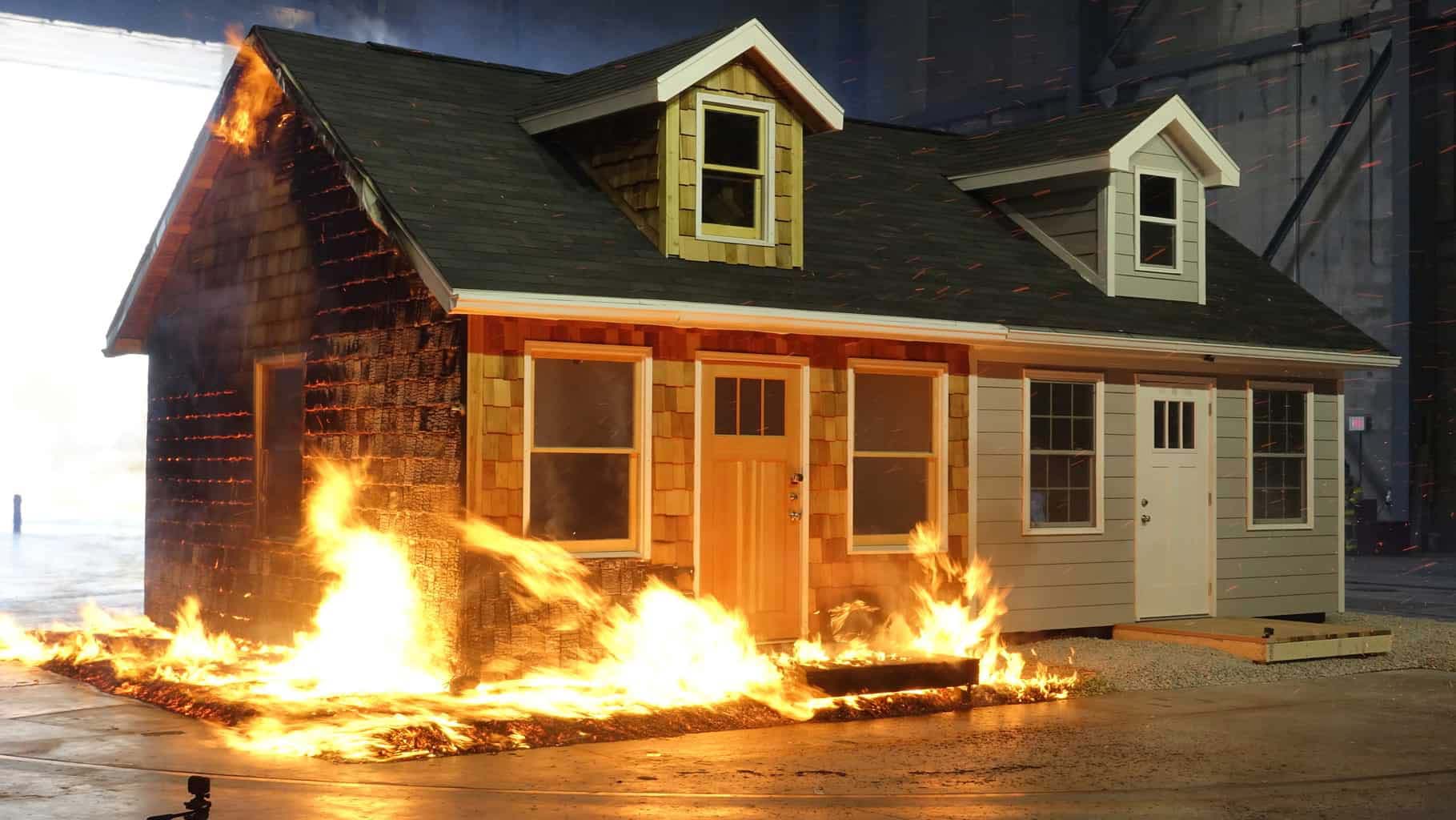
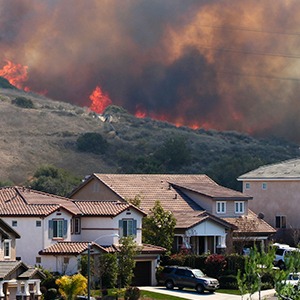
A new home built to wildfire-resistant codes can be constructed for roughly the same cost as a typical home. Read more
-
Explore interactive maps of watersheds, wildfire, and the wildland-urban interface in Colorado’s San Luis Valley. Read more
-
Identify neighborhoods where overlapping wildfire threats and socioeconomic vulnerabilities may make people disproportionately susceptible to wildfire. Read more
-
The number of western Montana homes in areas with high wildfire hazard has doubled, outpacing development rates in areas with low wildfire hazard. Read more
-
Almost half of the full community costs of wildfire are paid for at the local level, including homeowners, businesses, and government agencies. Read more