-
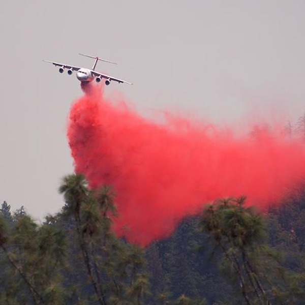
Federal wildfire policy that emphasizes suppression—a legacy of early-1900s forest management—has resulted in a paradox: accumulated fuels and larger, more severe wildfires. Read more
-
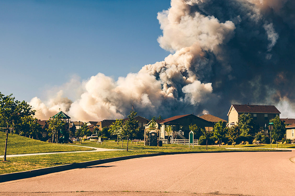
Managing wildfires during a pandemic will test the capacity of our first responders, but individual homeowners can take steps now to reduce wildfire risks. Read more
-
The new Wildfire Risk to Communities website—developed by the USDA Forest Service in partnership with Headwaters Economics and Pyrologix—offers maps and data about community wildfire risk nationwide. Read more
-

Economic methods and data can engage diverse audiences and tell new stories to help cities make a case for climate adaptation. Read more
-
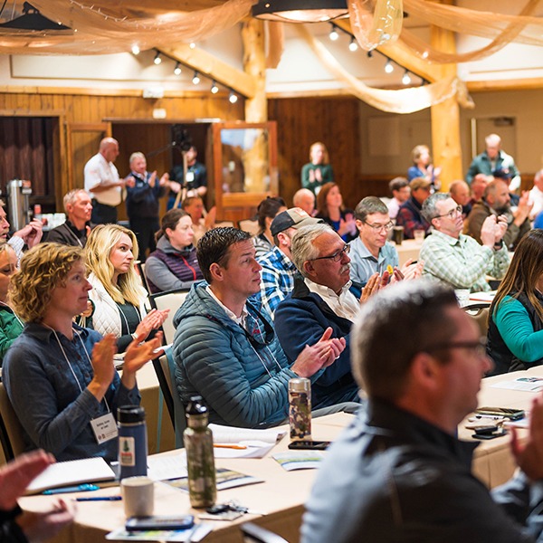
Video and highlights from an event that brought together diverse community leaders to explore practices for building fire-adapted communities. Read more
-

Wildfire hazard assessment maps can help communities build safer neighborhoods, prioritize mitigation resources, and adapt to wildfire. Read more
-
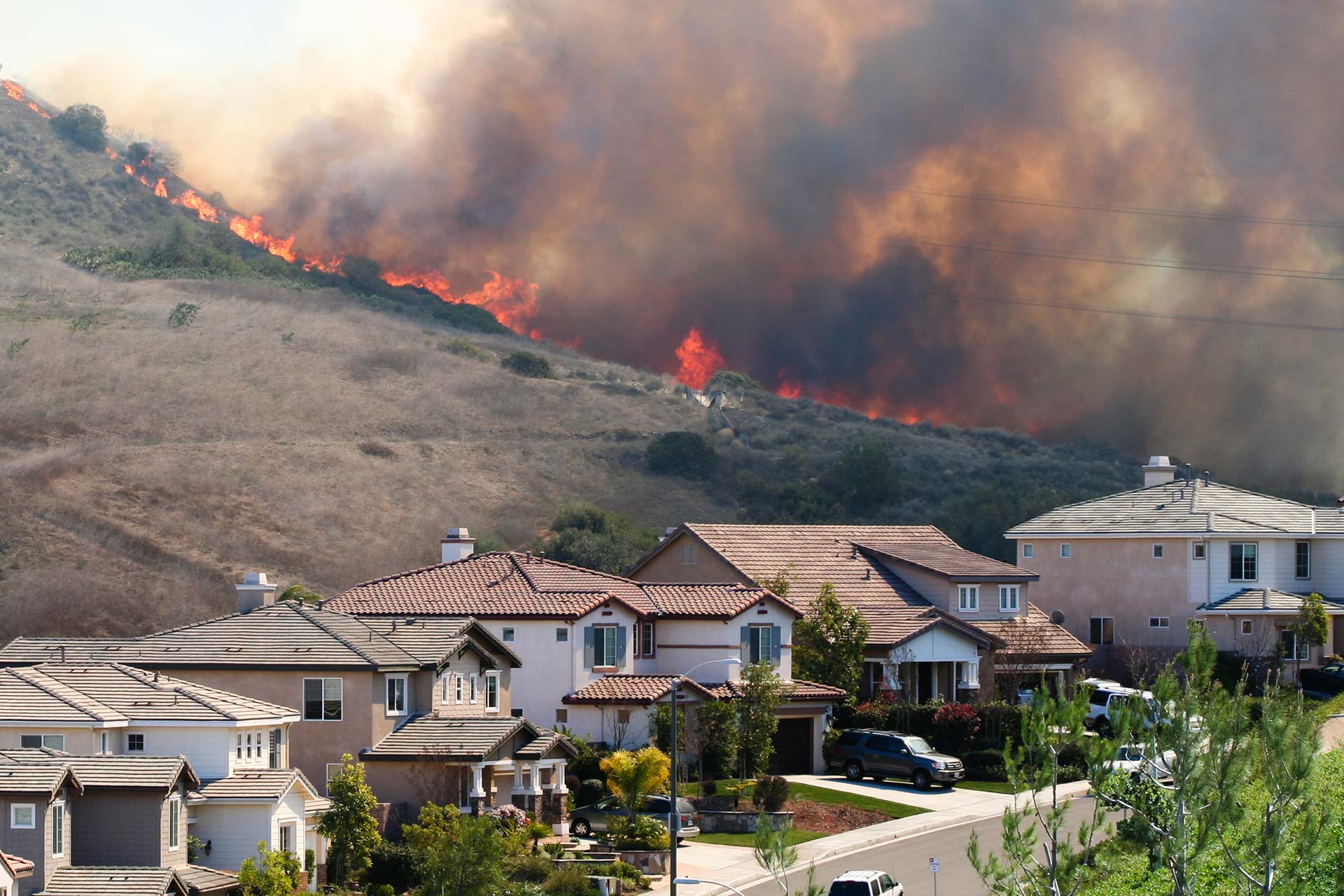
Updated: For communities land use planning is more effective than logging on federal lands to reduce future wildfire disasters. Read more
-
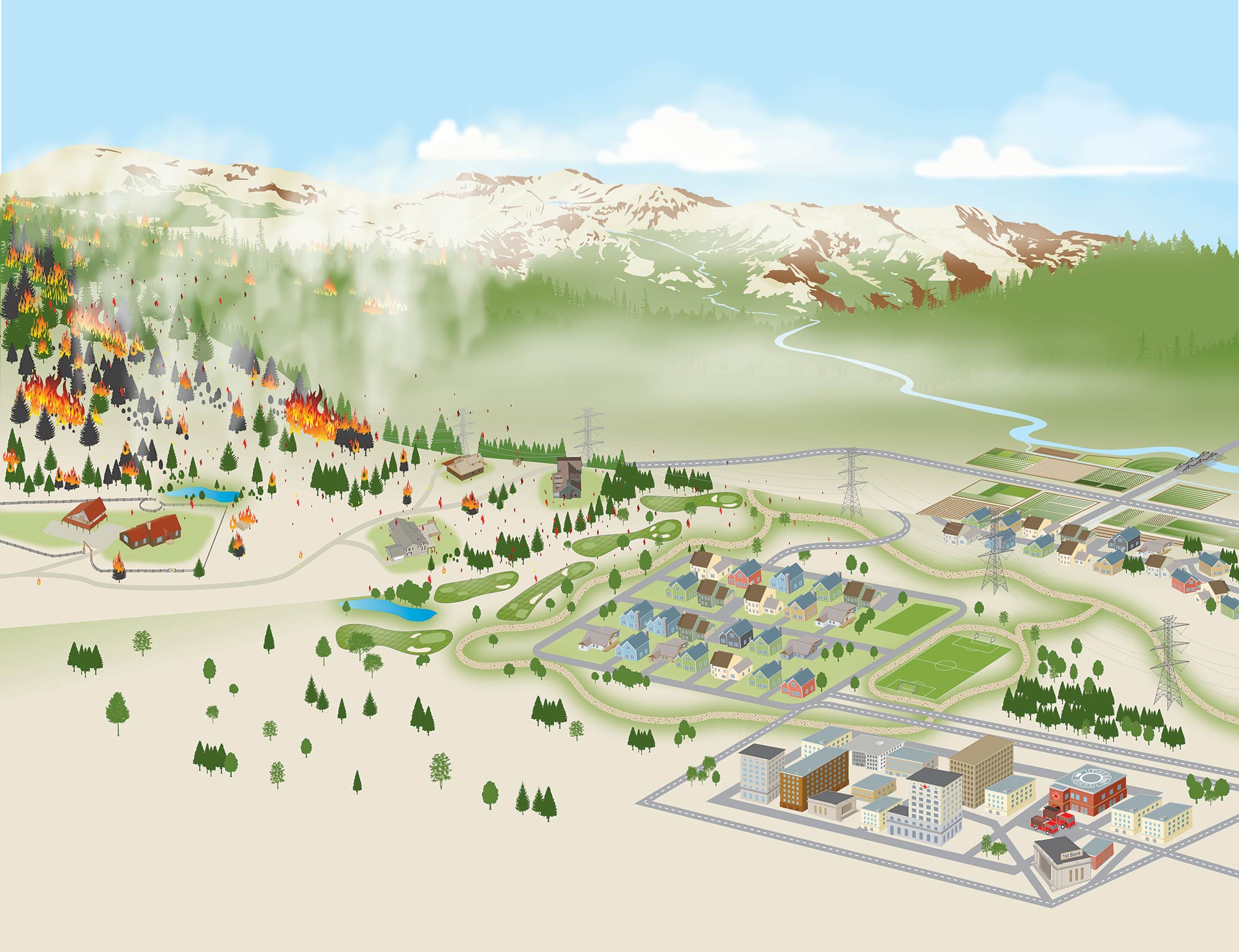
Community Planning Assistance for Wildfire (CPAW) is helping communities reduce wildfire risks and costs. Four new communities join 26 others this coming year. Read more
-
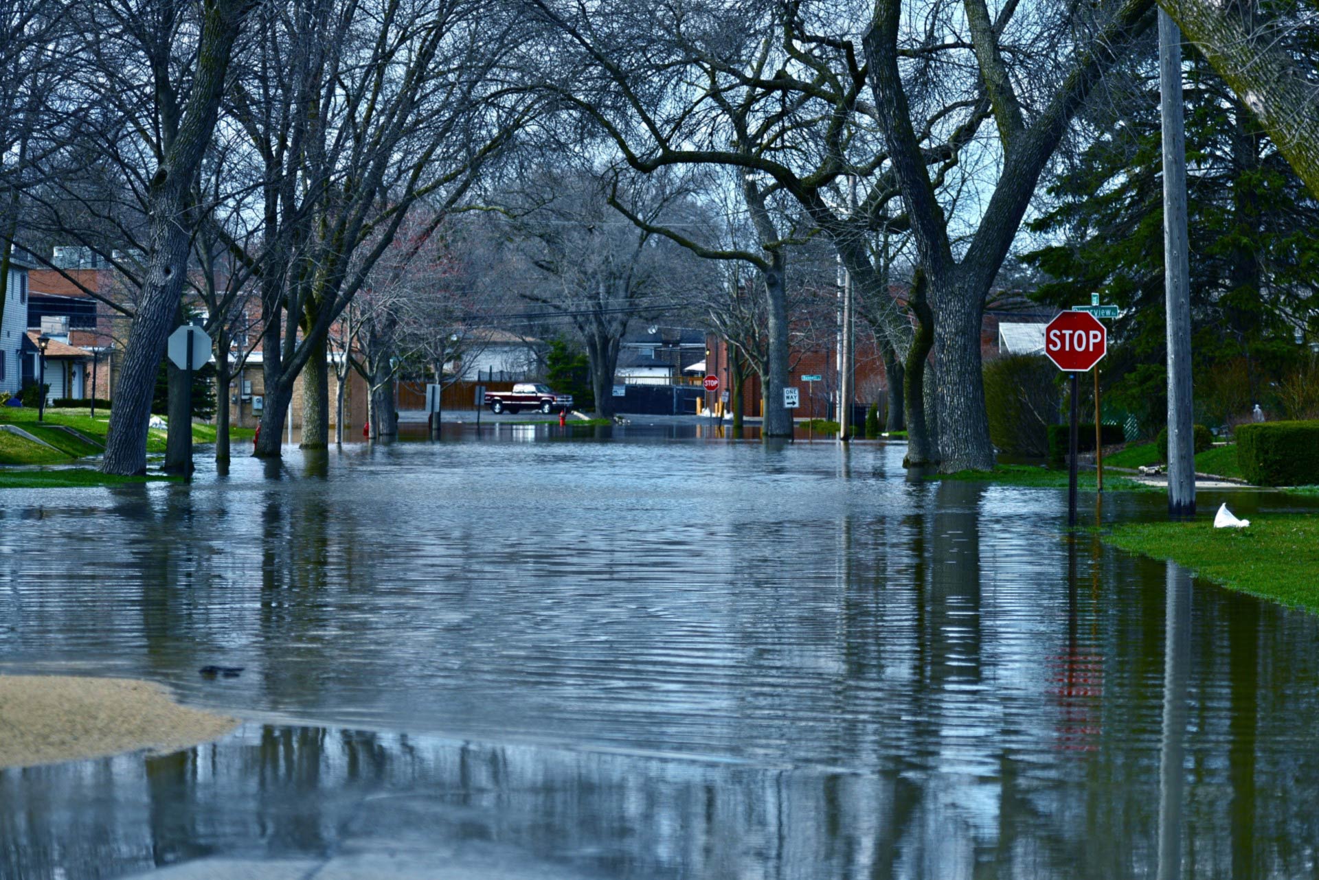
Integrate socioeconomic and climate data to map neighborhoods at risk in selected cities. Read more
-
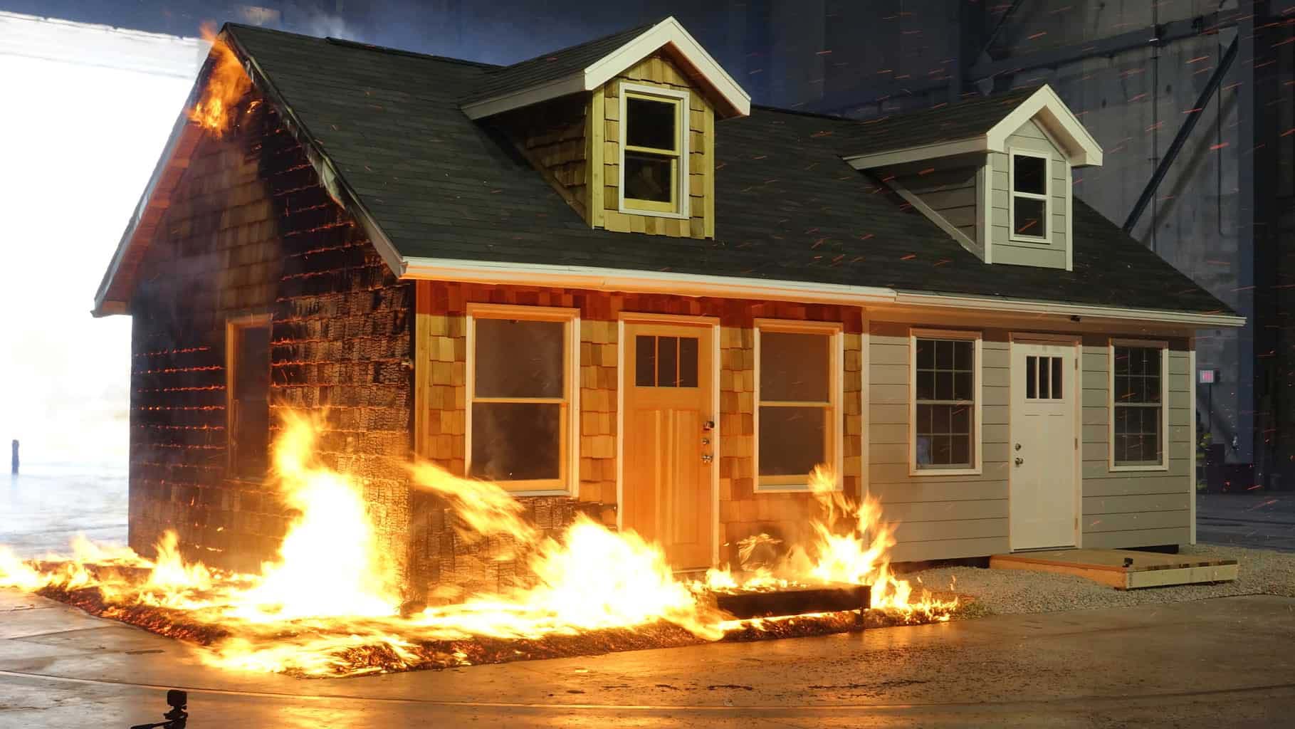
A new home built to wildfire-resistant codes can be constructed for roughly the same cost as a typical home. Read more
-

Video: Prioritizing climate resilience using Headwaters Economics tools. Read more
-
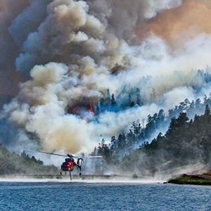
Explore interactive maps of watersheds, wildfire, and the wildland-urban interface in Colorado’s San Luis Valley. Read more
-

Partners in Colorado’s San Luis Valley are working to better understand the impacts of wildfire to communities, watersheds, and quality of life. Read more
-
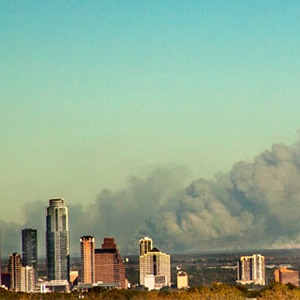
Identify neighborhoods where overlapping wildfire threats and socioeconomic vulnerabilities may make people disproportionately susceptible to wildfire. Read more
-
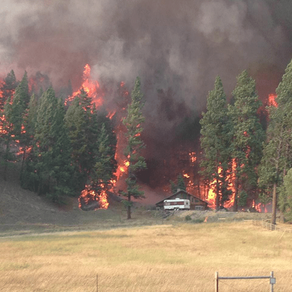
The number of western Montana homes in areas with high wildfire hazard has doubled, outpacing development rates in areas with low wildfire hazard. Read more
-
Almost half of the full community costs of wildfire are paid for at the local level, including homeowners, businesses, and government agencies. Read more
-
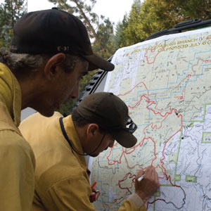
Explore all communities threatened by wildfires from 2000 to 2017. Read more
-
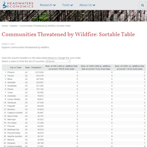
The sortable table identifies frequently threatened towns and cities, including the different sizes and distances of wildfires from nearby communities. Read more
-
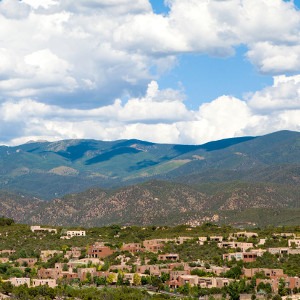
A new tool helps the City of Santa Fe, New Mexico assess wildfire and populations at risk. Read more
-
Identify neighborhoods in six Great Lakes cities that meet socioeconomic vulnerability criteria. Read more
