-
Benefit-cost analysis, required for many federal funding sources, puts smaller, rural, and low-income communities at a disadvantage. Read more
-

See where wildfire risk intersects social and economic factors that can make it difficult for people to prepare for, respond to, and recover from wildfire. Read more
-
Rural and lower capacity communities failed to successfully compete for FEMA Building Resilient Infrastructure and Communities (BRIC) funding in FY 2020. Read more
-
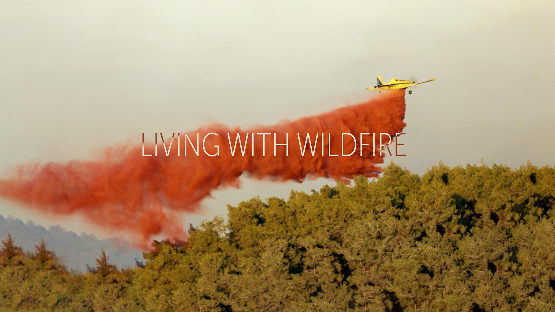
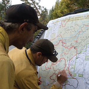
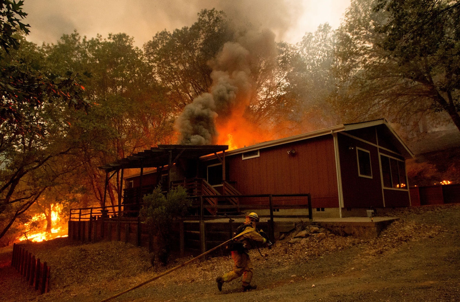
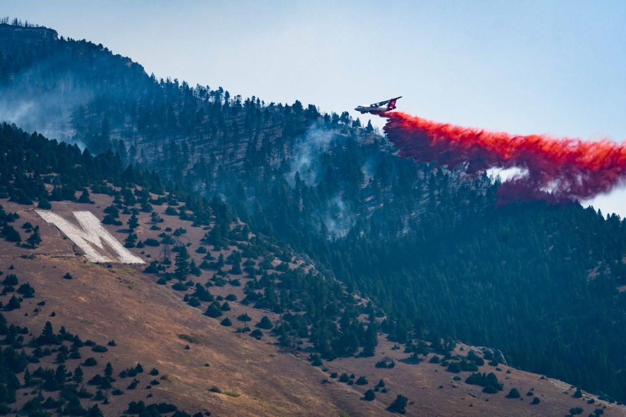
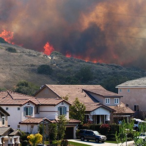
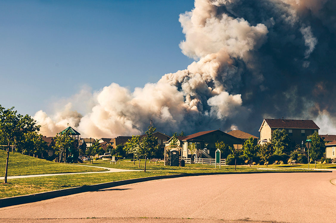
Watch “Living with wildfire.” Wildfires are an inescapable and necessary function of healthy ecosystems. In the past decade they have increased in severity and duration, killed more people, and burned more structures. Read more
-
Climate change has the potential to destabilize general operating budgets and constrain access to lending markets. These presentations share promising solutions for “climate-proofing” budgets. Read more
-
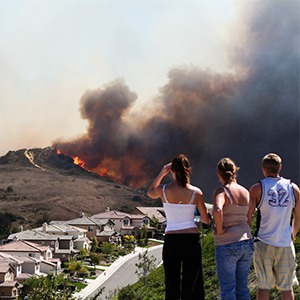
Slide show: The wildland-urban interface is growing and wildfires are causing cause more damage. Land use planning is an important solution. Read more
-
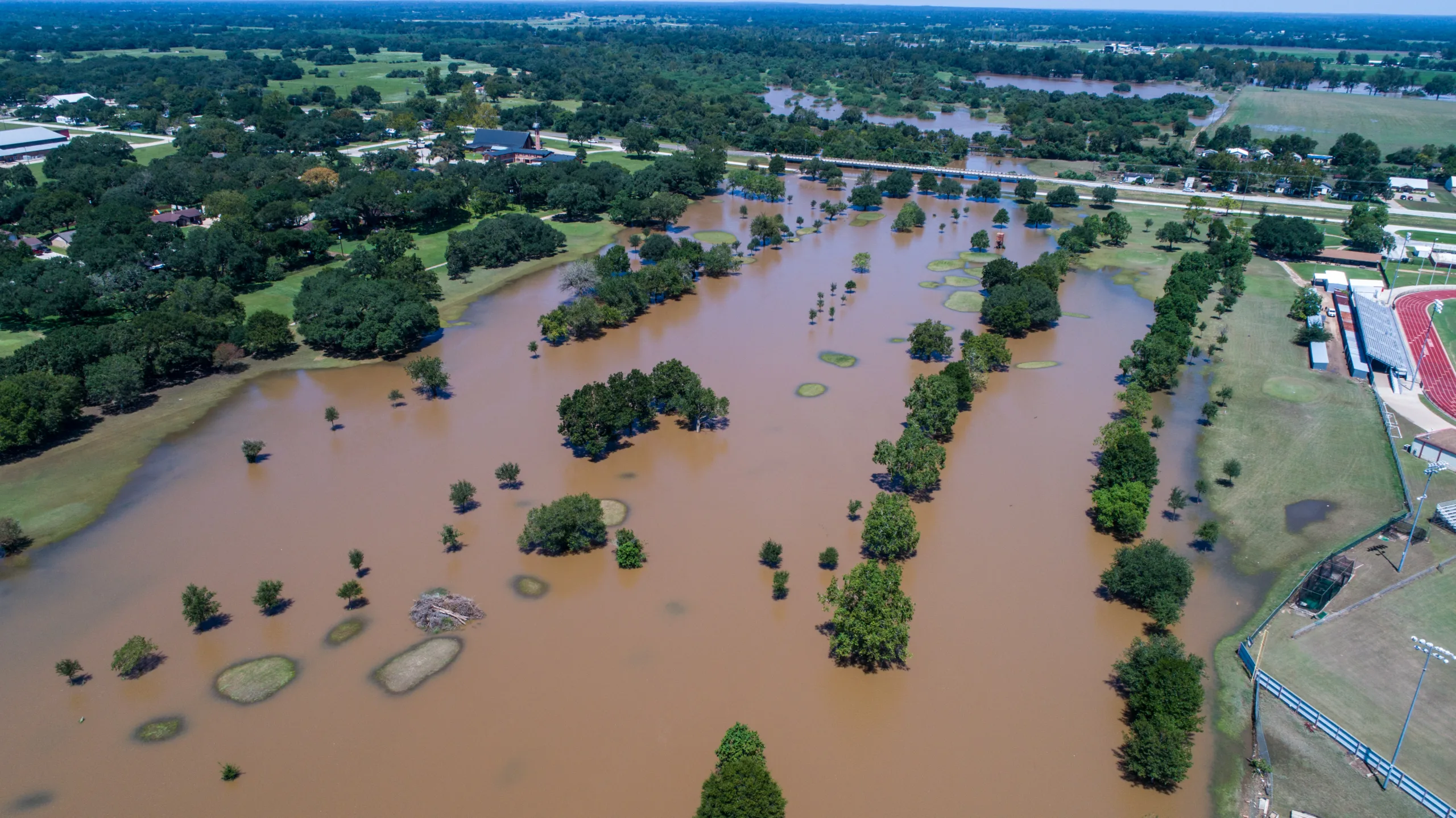
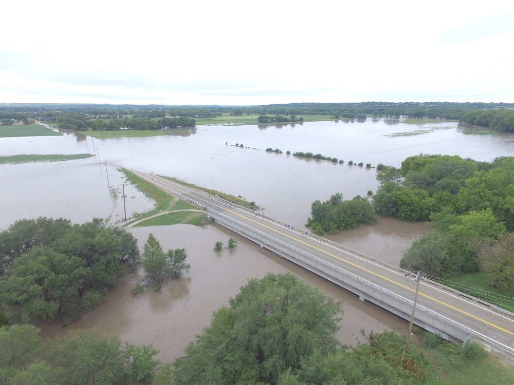
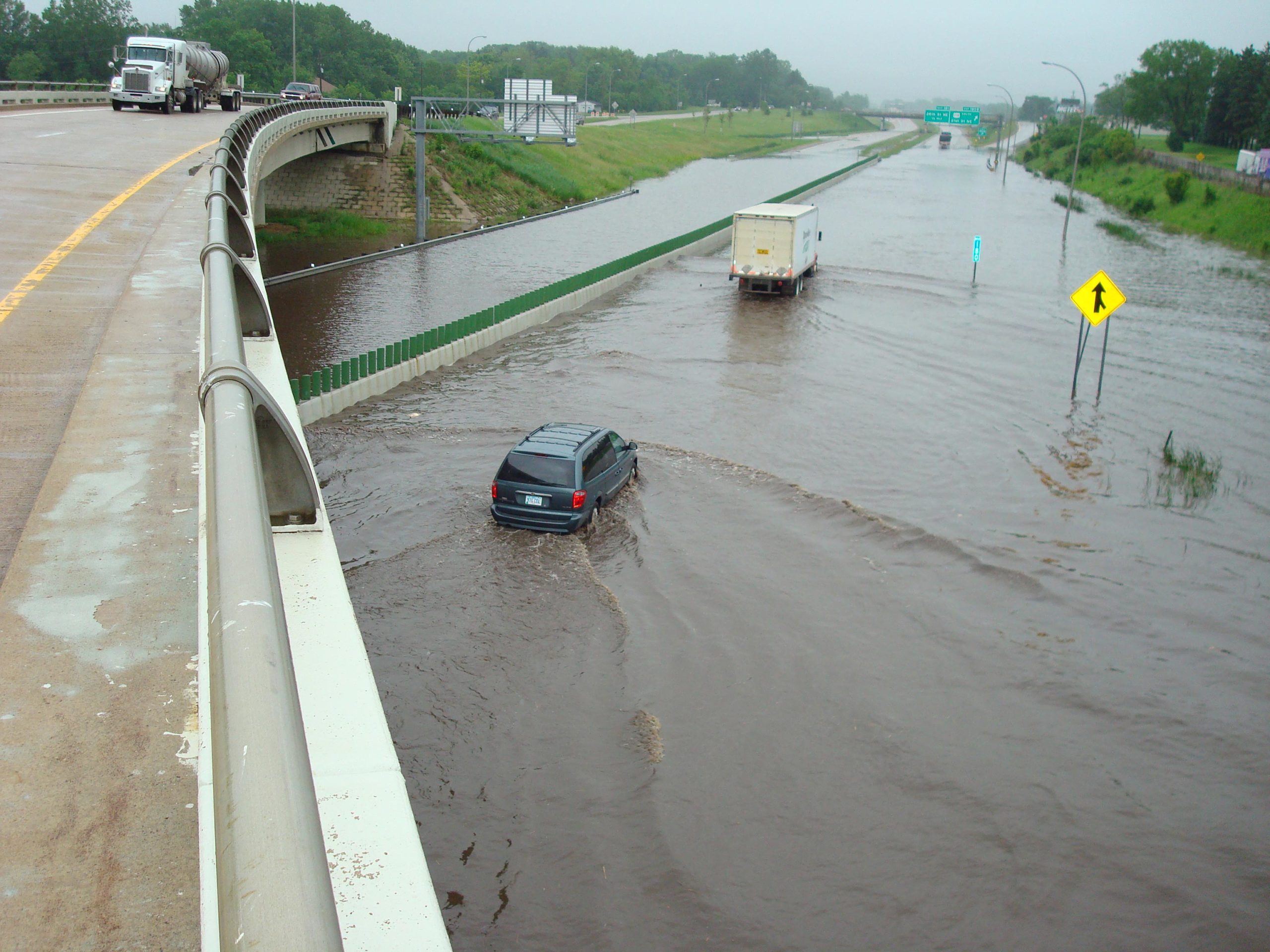
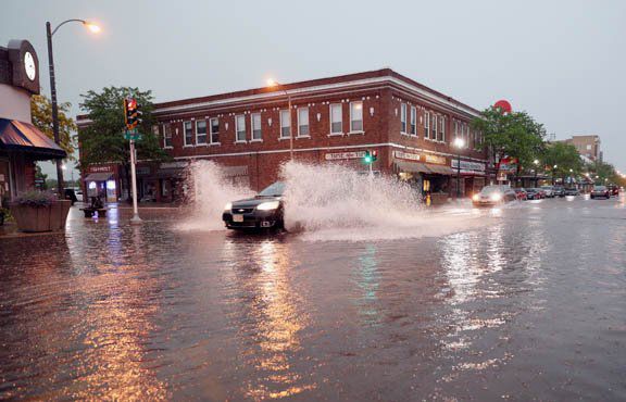
Flood risk is underestimated in the U.S., but better maps and data are not enough to help communities. They must be accompanied with resources to support local action. Read more
-
A new report in our Economic Profile System provides community-level data about wildfire hazard and potentially vulnerable populations. Read more
-
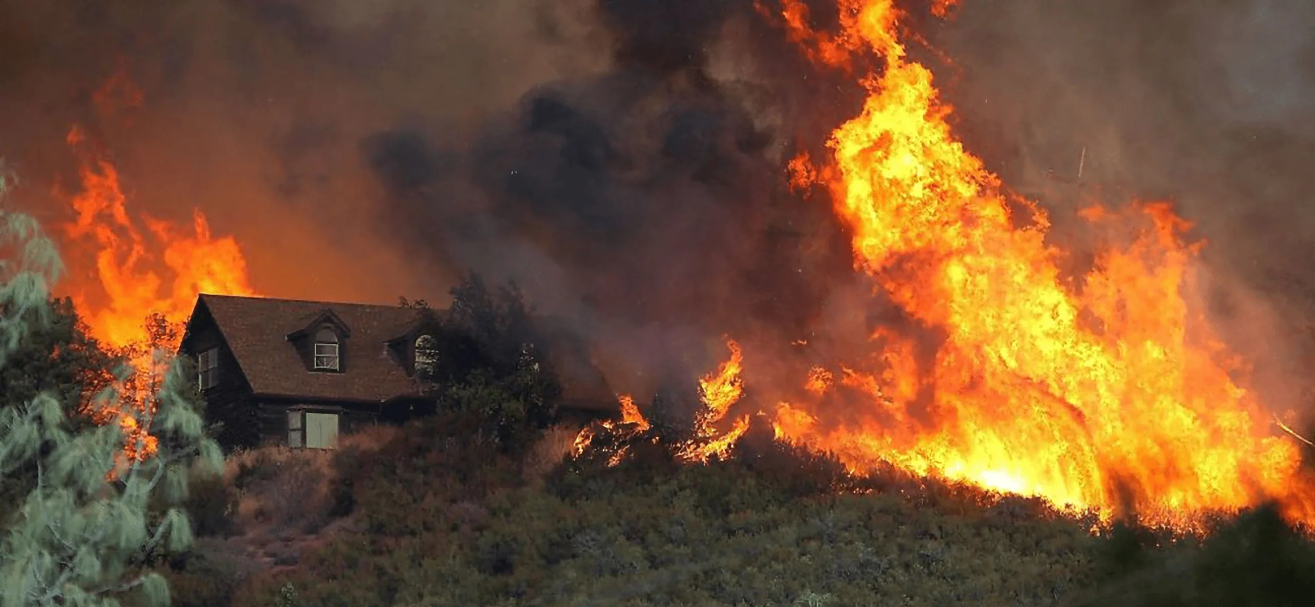
Explore the number of structures destroyed in each state by wildfire. Structures lost—rather than acres burned—provides a more complete measure of the broad impacts of wildfire. Read more
-
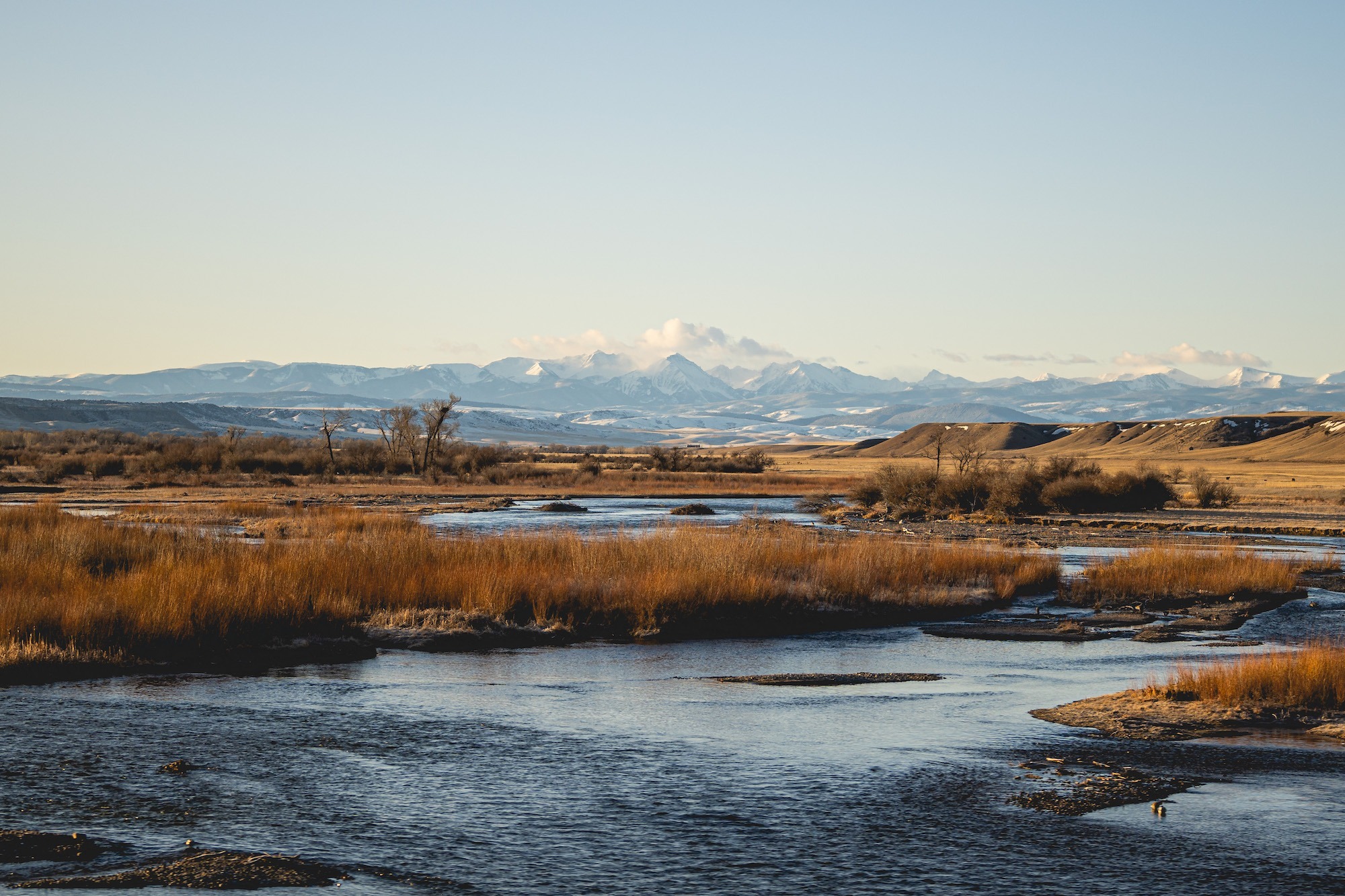
The number of western Montana homes in areas with high wildfire hazard has doubled, outpacing development rates in areas with low wildfire hazard. Read more
-
Communities highlighted in this report have successfully reduced flood risk through strategic partnerships, innovative solutions, and creative funding. Read more
-
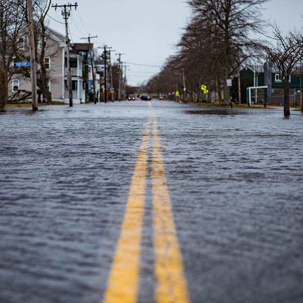
This guide provides advice for developing funding strategies for flood mitigation projects, including where to find funding and how to make an economic pitch for mitigation projects. Read more
-
Kimiko Barrett, Ph.D., demonstrates how community resilience to wildfire needs to include planning and adaptation strategies for homes and neighborhoods. Read more
-
From 2000-2019, nearly 2,000 U.S. communities were threatened by wildfires or potential ember spread, showing the need for adaptive planning strategies. Read more
-
Testimony on wildfires and vulnerable populations to a forum before the House Subcommittee on National Parks, Forests, and Public Lands. Read more
-
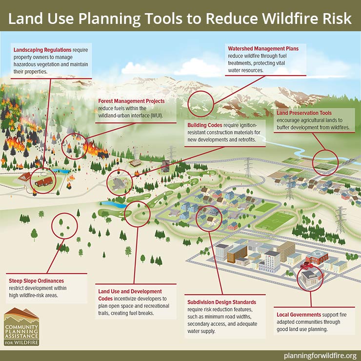
Land use planning can help communities become fire-adapted and resilient in the face of increasing wildfire potential. Read more
-
Federal wildfire policy that emphasizes suppression—a legacy of early-1900s forest management—has resulted in a paradox: accumulated fuels and larger, more severe wildfires. Read more
-
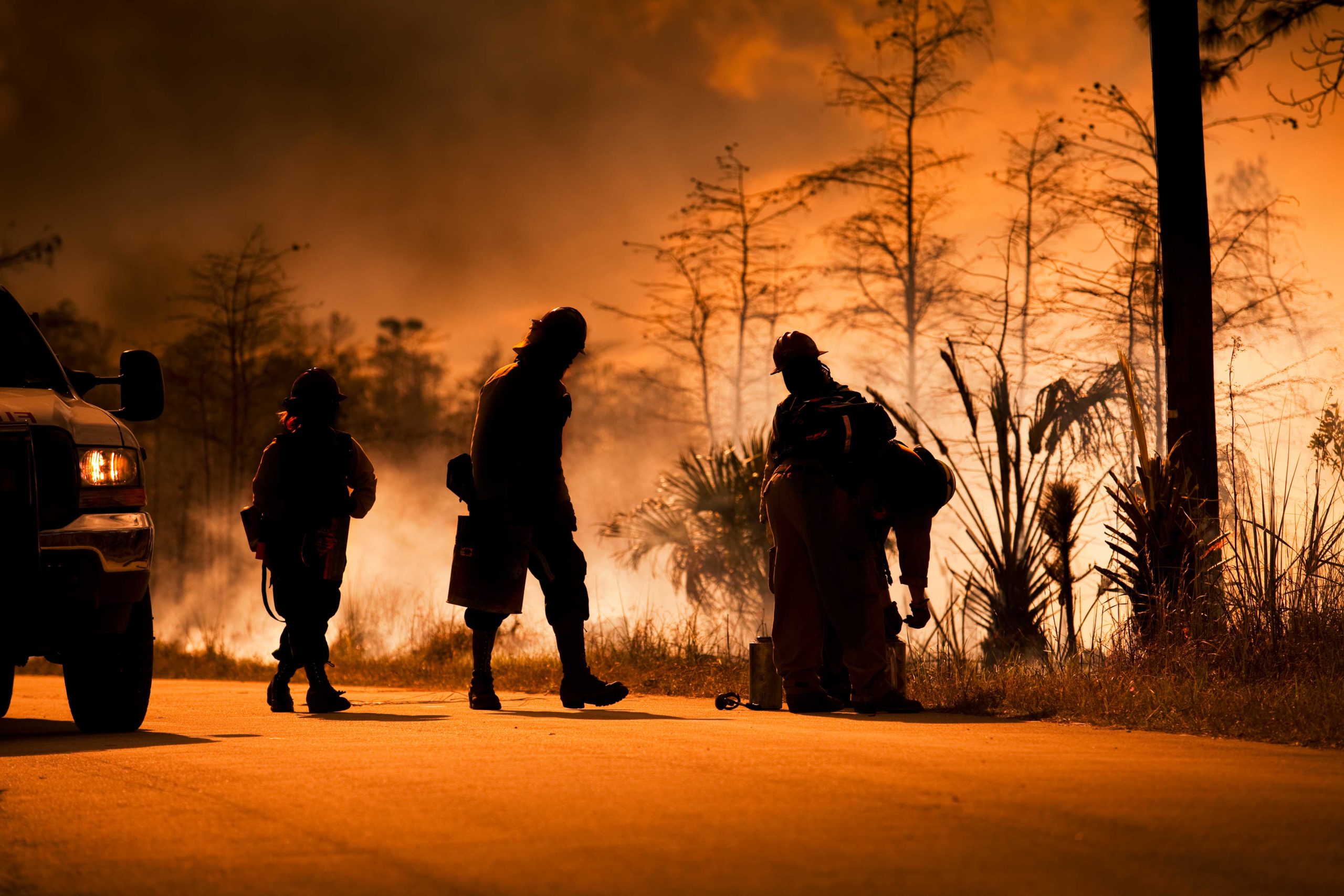
Managing wildfires during a pandemic will test the capacity of our first responders, but individual homeowners can take steps now to reduce wildfire risks. Read more
-
The new Wildfire Risk to Communities website—developed by the USDA Forest Service in partnership with Headwaters Economics and Pyrologix—offers maps and data about community wildfire risk nationwide. Read more
-
Economic methods and data can engage diverse audiences and tell new stories to help cities make a case for climate adaptation. Read more