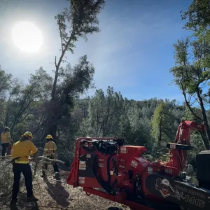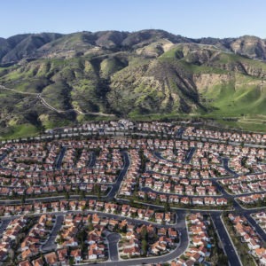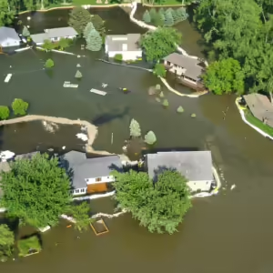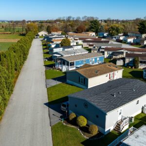
“There’s great interest in how to make smart investments up front before people’s lives are ruined,” said Patty Hernandez, executive director of Headwaters Economics.

Patty Hernandez is co-founder and Executive Director of Headwaters Economics. She has played a formative role in building the highly productive team, positive culture, and impactful work for which Headwaters Economics is known.
Patty has 18 years of experience in economic development research, community assistance, technology solutions, and nonprofit leadership. She has led Headwaters Economics’ development of highly regarded interactive data tools—such as Neighborhoods at Risk and Wildfire Risk to Communities—that help communities adapt to climate change. In 2021 she also helped launch a new community assistance program: FloodWise Communities.
With an abiding interest in community development and equity, Patty has worked with a wide network of partners to identify and analyze relevant data for community planning and make it easily accessible. She has worked directly with local governments in 15 states spanning the country; federal agencies such as the U.S. Forest Service, the Bureau of Land Management, the U.S. Fish and Wildlife Service, and the National Oceanic and Atmospheric Administration; national organizations including the Urban Sustainability Directors Network, the American Society of Adaptation Professionals, the National League of Cities, the National Association of Counties, and the National Association of Development Organizations; and colleagues at academic institutions including the University of Washington, Stanford University, University of Oklahoma, University of Michigan, and Cornell.
To all her work Patty brings a commitment to rigorous research and a deep dedication to helping communities thrive in a changing world. She is one of four principal investigators for a multi-year National Academy of Sciences’ Thriving Communities project, and a co-principal investigator for the Pacific Northwest Regional Integrated Sciences and Assessments (RISA) program. Patty also leads the NOAA Climate Program Office fiscal policy working group and works closely with charitable foundations and leadership of other nonprofits to support sustainable community development.
Patty grew up in Miami, Florida, and holds a master’s degree in ecology. She spent two years in remote parts of Alaska working on public lands management before moving to Helena, Montana.
Review the different rates of home construction and loss of open space across Montana counties.
By pairing limited, local surveys with activity tracking app data, we are estimating trail use across large areas.
Identify neighborhoods in six Great Lakes cities that meet socioeconomic vulnerability criteria.
National interactive map and charts show Medicaid-dependent counties and populations at risk.
Explore socioeconomic trends in Gunnison County and neighboring Colorado counties.
Explore seasonal use—including the amount, type, and timing—for 25 regional trails and pathways.
Trails are good for people, but the health and social benefits of trails are not equally available to everyone.
Despite being known for its rural landscapes, the West is surprisingly urban.
There are three distinct types of counties in the West—Metro, Connected, and Isolated—defined by their access to major markets and population centers.
The High Divide region, recognized as one of the most intact biological areas in the lower 48 states, is attracting many new residents and home construction is changing the landscape.
Survey shows that nine out of 10 respondents use the pathways and trails in Teton County, Wyoming. Such surveys help community leaders, stakeholders, and citizens plan for the future of pathways and trails systems.
Review the economic and demographic differences between Metro, Connected and Isolated counties.
This paper demonstrates that when fossil fuel development plays a prominent, long-term role in local western economies there are negative effects on per capita income, crime rates, and educational attainment.
Headwaters Economics worked with the Clark Fork Coalition, U.S. Forest Service, and others to create an interactive tool that describes many of the stories behind the ongoing recovery of the Clark Fork River.
This Headwaters Economics study analyzes the impact of housing and climate on the costs of fighting forest fires in National Forests of Oregon.
This Headwaters Economics study analyzes the impact of housing and climate on the costs of fighting forest fires in the twelve national forests of the Sierra Nevada.
This site documents the economic and demographic conditions of counties bordering the Yellowstone River, and displays maps showing past, current, and forecasted residential development along the river.
Headwaters Economics developed historical and forecasted housing data for the High Divide based on county tax assessor records. Download GIS data showing 2013 home counts per Public Land Survey Section.

Extreme heat poses health risks to millions of rural Americans. Solutions need to be tailored to meet the unique characteristics of rural places.

A Forest Service program is helping communities across the nation reduce wildfire risk—including those that don’t normally have the resources to successfully compete for federal grants.

As home insurance in areas with high wildfire risk becomes more expensive and harder to obtain, significant pressure is put on state and local budgets.

An analysis of FEMA’s BRIC program for climate adaptation and disaster resilience funding shows rising demand, but unequal access.

Many mobile home parks face higher flood risk and relocation may be the best option. A review of 12 mobile home park buyout projects illustrates how policy innovation and resident engagement can increase success.