-

More states in the West are considering new building codes to protect structures and neighborhoods from wildfire. We’re tracking the progress. Read more
-
High demand for the CWDG program demonstrates the need for wildfire risk reduction support in high-risk, low-income communities. Read more
-

In the face of increasing wildfire disasters several strategies could play a role in reducing damages and stabilizing homeowners insurance markets. Read more
-
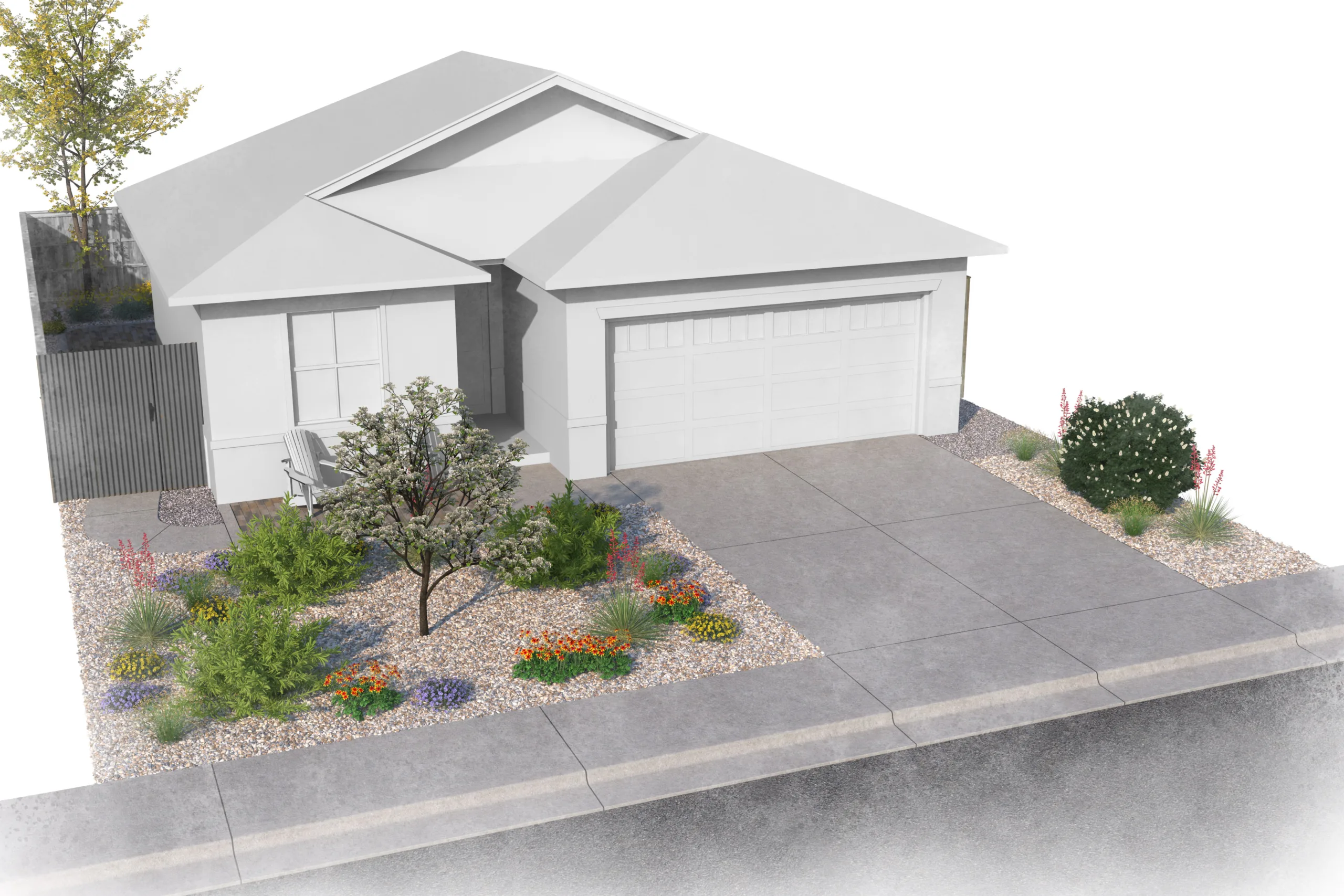
A new analysis shows that building wildfire-resistant homes adds less than 3% to construction costs. Read more
-
The loss of the Grand Canyon Lodge to wildfire underscores the urgent need to align historic preservation standards with evidence-based wildfire risk reduction practices. Read more
-
New research highlights opportunities to improve wildfire risk models that inform planning, building codes, and risk management. Read more
-
Colorado’s code design considered stakeholder input, including interviews and a survey conducted by Headwaters Economics and the University of Colorado Denver. Read more
-
Upfront investments in rebuilding to wildfire-resistant standards can save billions in future avoided economic losses. Read more
-

Extreme heat poses health risks to millions of rural Americans. Solutions need to be tailored to meet the unique characteristics of rural places. Read more
-
Crossover landscaping that does double-duty for drought and wildfire resistance is becoming more appealing for communities looking to reduce risk in residential areas. Read more
-
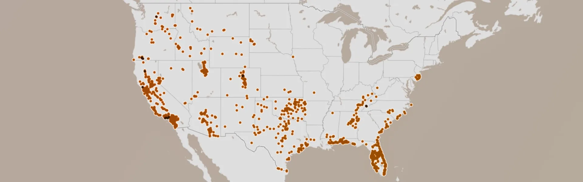
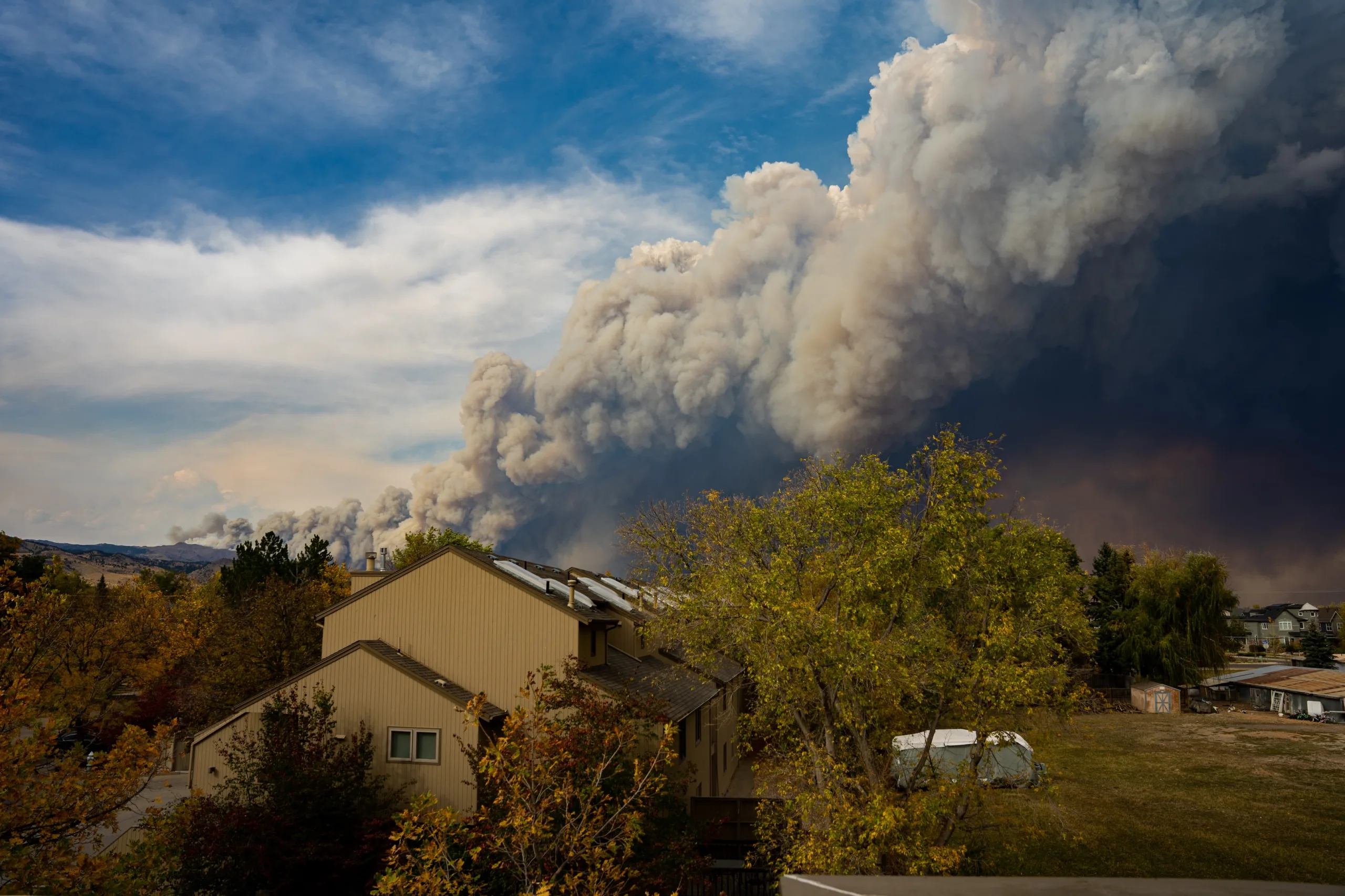
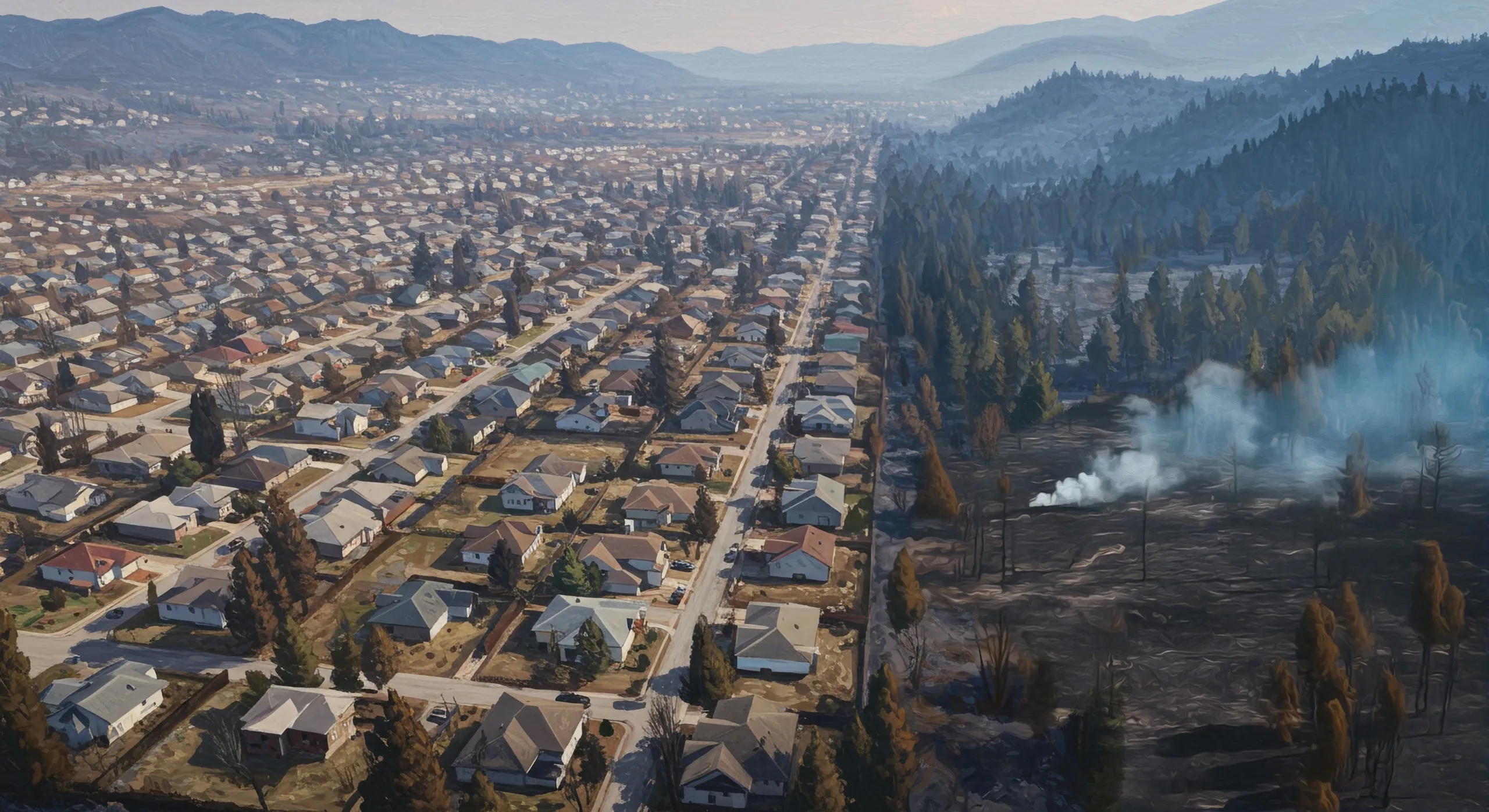
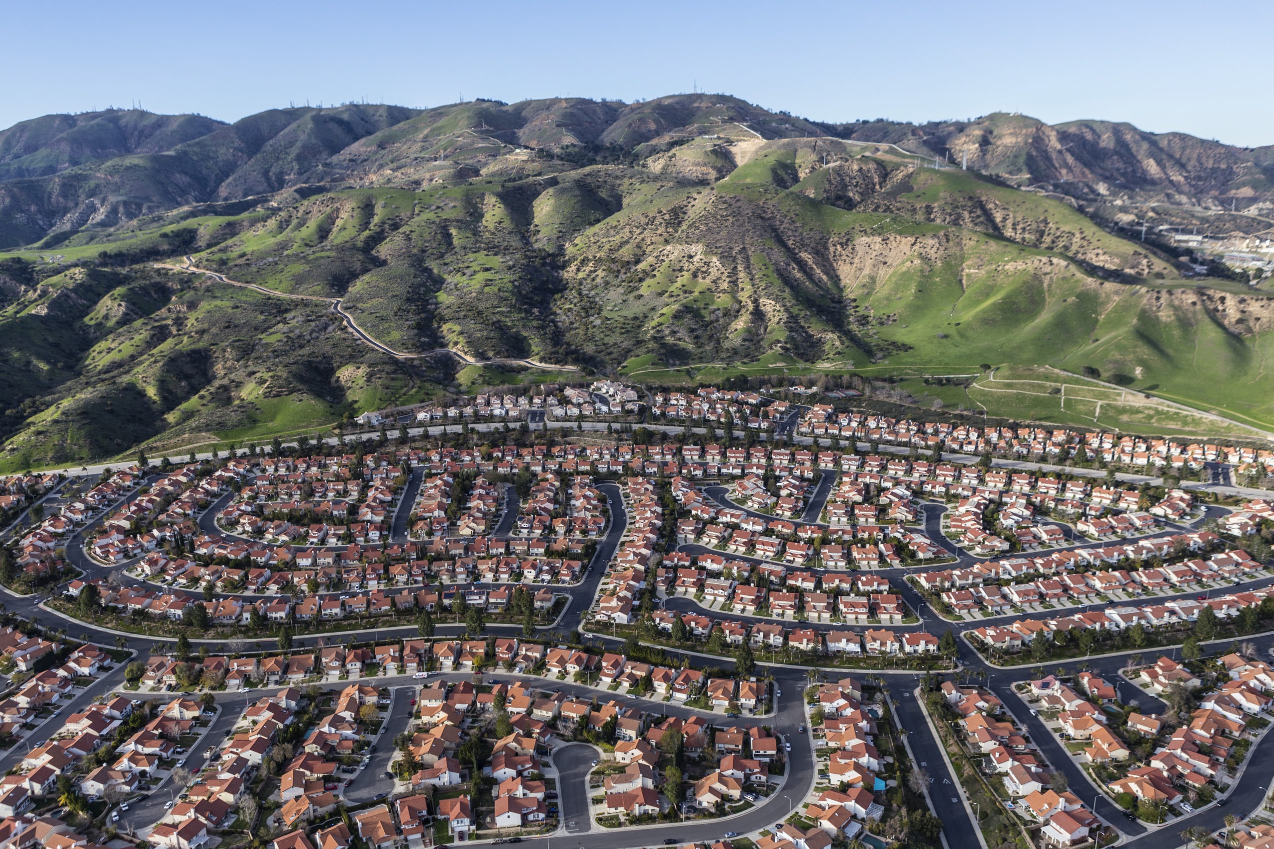
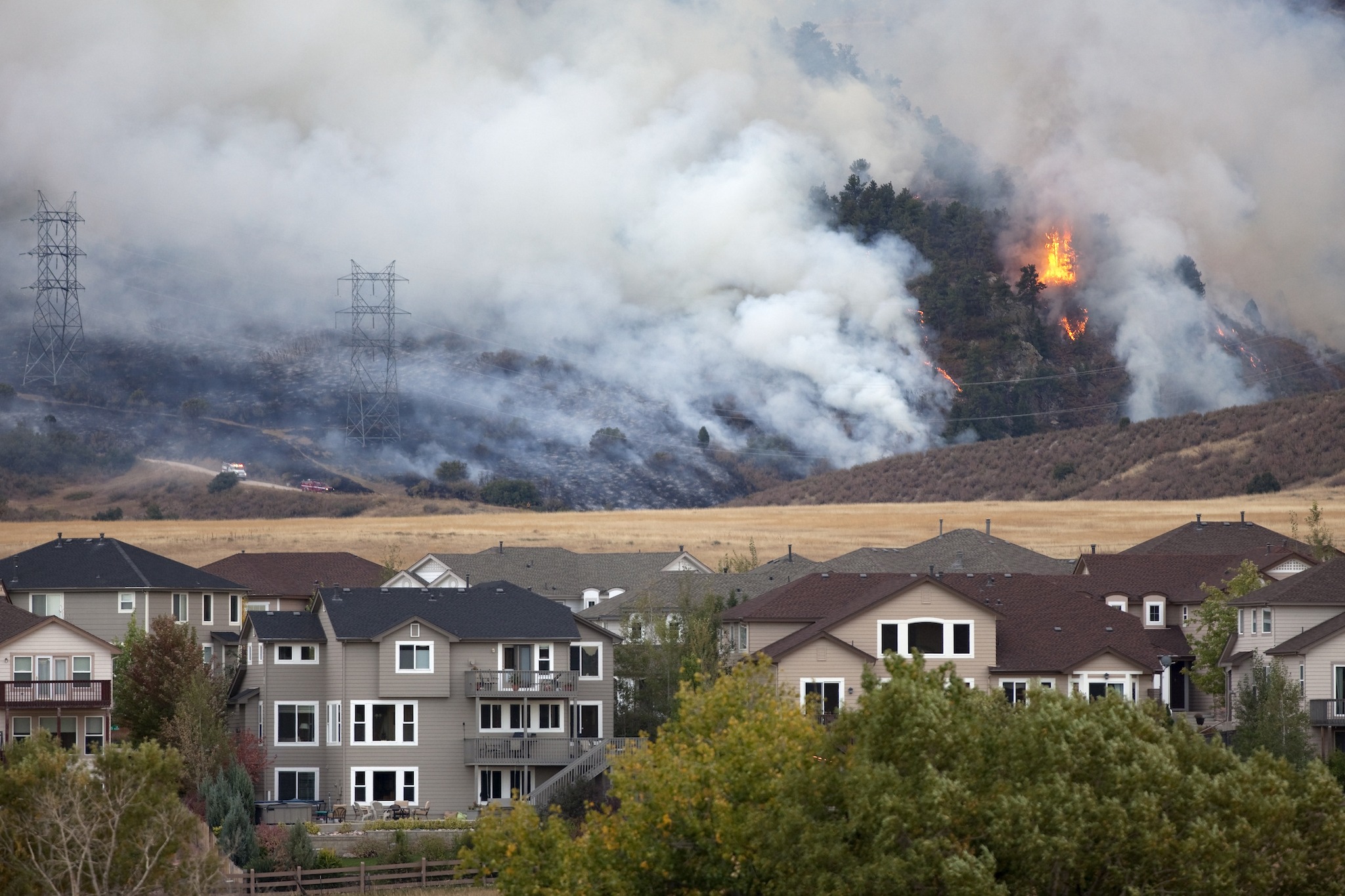
More than 1,100 communities in 32 states face similar risks to Los Angeles and other places with recent urban wildfires, highlighting the urgent need for wildfire-resistant homes and neighborhoods. Read more
-
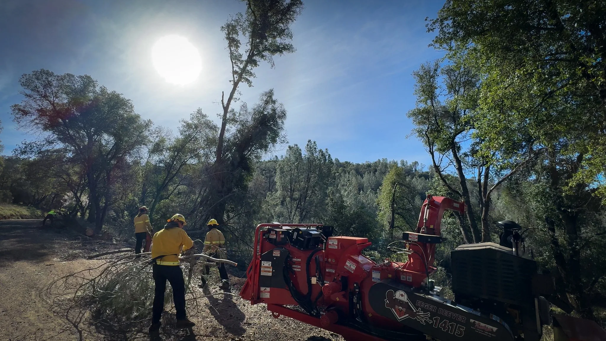
A Forest Service program is helping communities across the nation reduce wildfire risk—including those that don’t normally have the resources to successfully compete for federal grants. Read more
-
As home insurance in areas with high wildfire risk becomes more expensive and harder to obtain, significant pressure is put on state and local budgets. Read more
-
Retrofitting a home for wildfire resistance can cost as little as $2,000, making this approach an effective risk reduction strategy for communities. Read more
-
New climate data and methodology enhances Wildfire Risk to Communities, a free online tool for understanding wildfire risks across the United States. Read more
-

Leading wildfire experts make the case that creating wildfire-resistant communities must become a much higher priority. Read more
-
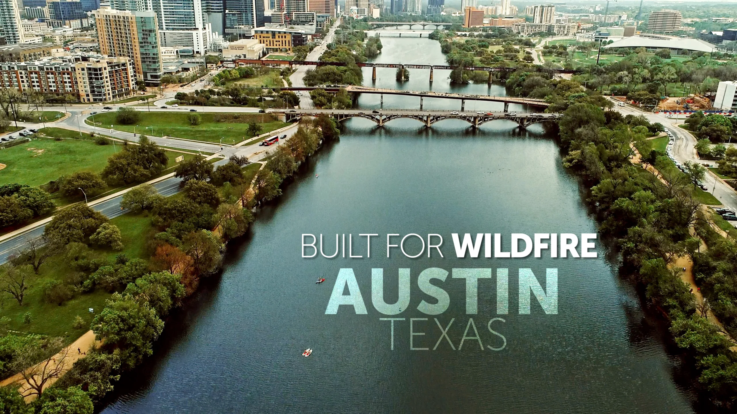
In this ten-minute video produced by Headwaters Economics, learn how leaders in Austin, TX came to realize the magnitude of the wildfire threat, and how they brought together diverse interests to protect their community. Read more
-
A new report from the Wildland Fire Mitigation and Management Commission recommends transformative approaches needed to overcome the wildfire crisis. Read more
-
A new analysis shows that managing the built environment is the most effective strategy at reducing wildfire risk to communities, yet it receives the least funding and policy support. Read more
-
An independent analysis by Headwaters Economics shows that the first round of funding from the Community Wildfire Defense Grant program prioritized high-risk, low-income communities. Read more