The American Community Survey in our Data Tools
Updated January 2025
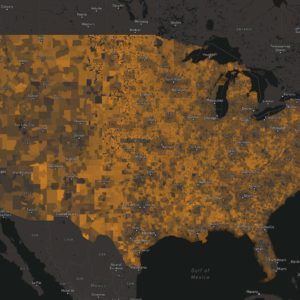
Headwaters Economics continuously updates all of its data tools with the latest demographic and economic data available. The U.S. Census Bureau’s American Community Survey (ACS) appears in many of our data tools and is the leading source of socioeconomic statistics for every level of geography in the nation.
Our tools currently use the latest ACS data released in December 2024.
About the American Community Survey
Unlike the decennial census that counts every person every 10 years, the ACS is an ongoing survey sent monthly to a sample of households. The survey collects information about topics that aren’t included in the census, such as educational attainment, housing, language, commuting distance, and employment. The Census Bureau then uses the surveys to estimate average characteristics over a five-year period. The ACS is the most comprehensive resource for understanding socioeconomic characteristics in the nation.
The latest ACS data comprise statistics from 2019 to 2023. They were released by the Census Bureau in December of 2024 and added to Headwaters Economics’ tools in January of 2025.
New and Noteworthy
- In the latest data release, the Census Bureau changed its tribal population tables based on feedback from tribal leaders. Estimates are now provided for detailed American Indian and Alaska Native tribes and villages instead of tribal groupings. Estimates for tribal groups were discontinued.
- Now in the Economic Profile System, all tribal areas are represented in their entirety, in addition to parsed by state portion.
- New this year, some reports are now available for Puerto Rico in Headwaters Economics’ Economic Profile System.
- Also new this year, users can search county subdivisions with functional governance authority in the Economic Profile System.
Find ACS Data in Our Tools

Economic Profile System
The Economic Profile System displays ACS data for any U.S. community, county, or state in the Quick Facts section. You can also find ACS data in several downloadable reports, including the Demographics, Populations at Risk, Wildfire Risk, Living Near Public Lands, and Tourism reports.

Neighborhoods at Risk
Neighborhoods at Risk displays ACS data by census tract along with information about climate vulnerability.

Agency Tools
Our tools designed specifically for federal land management agencies also use ACS data. These include tools for the Bureau of Land Management, the U.S. Forest Service, and the U.S. Fish & Wildlife Service.

Wildfire Risk to Communities
Wildfire Risk to Communities displays ACS data for every U.S. community, tribal area, county, and state on the Vulnerable Populations tab. This tool also includes interactive maps and charts about wildfire risk and resources to help communities reduce wildfire risk.
Note: ACS data will be updated in Wildfire Risk to Communities on a one-month delay.
This post was originally published on May 17, 2022 and updated in January of 2025 to reflect changes to this dataset.