Contributed · Sep 2026
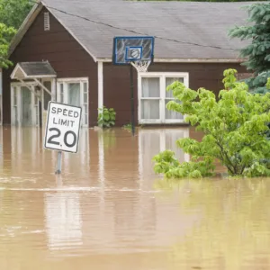
Who gets federal disaster assistance? New county-level data offer a clearer picture
 +
+

Bill is a skilled software developer dedicated to creating online tools that empower communities to make informed decisions.
With a master’s degree in biology from Worcester Polytechnic Institute, Bill initially focused on salmon and lamprey research in the Columbia River Basin. His passion for data-driven solutions led him into GIS analysis and computer programming. At Montana Fish, Wildlife & Parks, he developed tools to assist biologists and land managers in making informed conservation decisions.
Bill’s career continues to evolve at Headwaters Economics, where he specializes in creating interactive online decision-support tools for federal land management agencies. He played a pivotal role in updating and streamlining the Economic Profile System, Headwaters Economics’ flagship socioeconomic analysis tool, and serves as lead programmer for Wildfire Risk to Communities, a national website created and maintained by Headwaters Economics for the U.S. Forest Service.
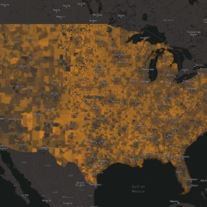
Drawing from his rural upbringing in Maine, Bill is deeply committed to supporting rural communities. He was instrumental in developing the Rural Capacity Map, a groundbreaking tool that highlights the needs of often-overlooked communities across the country.
As a key member of Headwaters Economics’ Tech Team, Bill leverages his expertise in the latest software and programming techniques to transform ideas into functional applications and data visualizations.
+

An analysis of wildfire-resistant home upgrades shows that they can also deliver energy savings, lower maintenance costs, and a longer-lasting home.
 May 2026
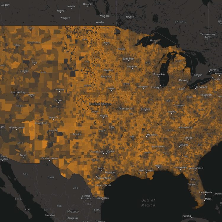
Our Rural Capacity Index (RCI) just got a significant update. The tool measures how well communities are equipped to compete for funding and manage long-term infrastructure projects. New features include refined…

 +
+

 +
+
 +
+

 +
+
 +
+