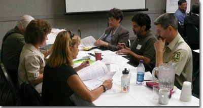
The goals of the workshop were to jointly identify socioeconomic trends affecting the area, the role of forest resources in the regional economy, and how these trends and assets can be integrated into forest management plans, including the management plan for the Giant Sequoia National Monument.
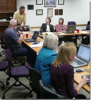
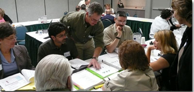
On October 16, 2008 in Porterville, CA, Headwaters Economics held a training for Forest Service Region 5 staff titled “Working with Socioeconomic Information and Tools.”
The goals of the training were to help Forest Service personnel to locate and interpret existing socioeconomic data relevant to regional forests, and to become competent in the use of software developed by Headwaters Economics for the Forest Service.
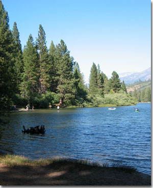
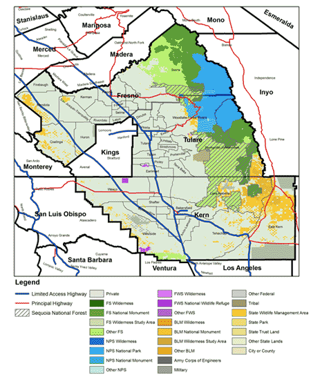
Study Area
Workshop Documents
Research Binder
These are the reports that were included in the 3-ring binders that were used in the workshop.
Regional Profile
- Map of Study Area
- Handout – Three-County Summary (Includes highlights from the reports below.)
- Migration Patterns (3 MB)
- Detailed Three-County Aggregation
County Profiles
- Fresno County, California
- Kern County, California
- Tulare County, California
- Differences between Counties
Major Sector Profiles
- Major Sectors Related to Public Lands in 3 County Study Area
- A Profile of the Mining Industry in 3 County Study Area
- A Profile of the Timber Industry in 3 County Study Area
- A Profile of the Travel & Tourism in 3 County Study Area
- A Profile of Agriculture in 3 County Study Area
- A Profile of the Environmental Justice in 3 County Study Area
County Subdivisions (CCD) Near the Forest
- Fresno County California Sierra CCD
- Kern County California Lake Isabella CCD
- Tulare County California Springville-Johnsondale CCD
- Tulare County California Woodlake-Three Rivers CCD
Forest vs. Valley
- Share of Population Aged 65 and Up Map
- Per-Capita Income Map
- Sub-County Variation
- Map of Region with Census Designated Places (Towns & Cities)
Additional Reports
Economic Profiles from Economic Profile System (EPS)
EPS Profiles contain historical trends from a variety of data sources and are available down to the county level.
- United States
- California
- 3 County Aggregation
- Fresno County, California
- Kern County, California
- Tulare County, California
Economic Profiles from Economic Profile System Census (EPSC)
Includes profiles for four county subdivisions that include the forest.
EPSC (see below) contains more socioeconomic information and is available at smaller geographies (e.g. towns and county subdivisions) but only contains data from the U.S. Census.
County Subdivisions (CCD) Near the Forest
- Fresno County California Sierra CCD
- Kern County California Lake Isabella CCD
- Tulare County California Springville-Johnsondale CCD
- Tulare County California Woodlake-Three Rivers CCD
Indian Reservations
Profiles for Selected Towns Near the Forest (Census Designated Places)
- Map of Region with Census Designated Places (Towns & Cities)
- Bodfish CDP California
- Kernville CDP California
- Lake Isabella CDP California
- Springville CDP California
- Squaw Valley CDP California
- Three Rivers CDP California
- Weldon CDP California
- Wofford Heights CDP California