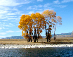
Past, Current, and Future Residential Development Along the Yellowstone River
Produced by Headwaters Economics for the U.S. Army Corp of Engineers
This site documents the economic and demographic conditions of counties bordering the Yellowstone River, and displays maps showing past, current, and forecasted residential development along the river.
References Viewing Instructions
- Socioeconomic Profiles: Reports by county and the region.
- Trends: Maps illustrating population, education, employment, migration, and travel and tourism.
- Residential Development: Past, current, and forecasted residential development in either a PowerPoint presentation or an automated slide show.
 Acknowledgements
This project was prepared for the Yellowstone River Conservation District Council Technical Advisory Committee as part of a Cumulative Effects Study to “assess cumulative effects to the Yellowstone system and to develop conservation-based management practices for the entire river main stem.” More information on the Council and the Cumulative Effects Study can be found at the Yellowstone River Conservation District Council webpage.
