Research Update: February 2019
 Neighborhoods at Risk
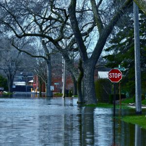
Headwaters Economics has released a new interactive mapping tool that merges climate and socioeconomic information to provide up-to-date, practical, neighborhood-level information for 18 cities in the Midwest and Mid-Atlantic regions. Maps can be used for presentations, grant proposals, planning decisions, shaping land use, or prioritizing capital improvements.
 Recreation Counties
Recreation counties, especially rural, outperform peers economically.
 BLM Socioeconomic Profiles
Download reports for states and counties near Bureau of Land Management units.
 Blog: Staff Commentary
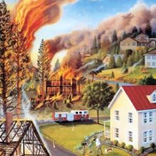
Land use planning is more effective than logging to reduce wildfire disasters.
Subscribe to our newsletter.