- Understanding the local economy and how it compares to peers is a crucial part of community and economic development. Several easy-to-use tools utilizing the latest data and trends are available for every county in the nation to help know your economy.
- The “one click” map (below) provides a quick, detailed socioeconomic report (PDF) that shows trends through 2016 for population, employment, personal income, earnings and jobs by industry, non-labor income, and more—along with explanatory text, citations, and resources.
Know Your Economy: More Tools
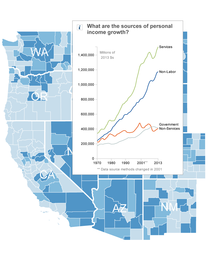
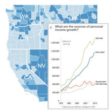
Our West-Wide Economic Atlas, at left, is an interactive map that quickly explores socioeconomic and land use trends in the West at the county or state level.
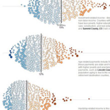
Another tool analyzes Non-Labor Income which represents 60 percent of net personal income growth in the last decade and 41 percent of total personal income in the West.
The Migration & Population Trends tool explores four county types and their migration and natural population change (births and deaths); while another looks at minority population changes in the rural West.
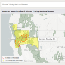
The National Forest Socioeconomic Indicators tool provides quick, easy-to-use reports detailing the economics, demographics, land use, business sectors, and other important information for communities near every National Forest.
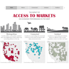
And the Three Wests interactive shows that there are three distinctly different types of counties in the West, defined by their access to major markets and population centers.
For More Detailed Reports, Try These Tools
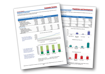
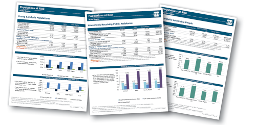
The Economic Profile System (EPS) and Populations at Risk (PAR) tools use data from the Bureau of Labor Statistics, U.S. Department of Commerce, Bureau of the Census, and other public sources to create reports at the community, county, or state level.